
Trace Fair Lawn Streets by Address
A house number is only the opening key for a Fair Lawn street directory search. The Borough, county, and state systems keep different parts of the record trail. The address should first be tied to a parcel in Fair Lawn, then to the municipality, block, and lot shown by the map layer. That stable parcel identity can be compared with assessment context and recorded land documents. A directory listing, voter-list product, permit file, or news item may then add a dated lead about a person or activity, but none of those alone proves a complete household or current occupancy.
- Use the address, municipality, block, and lot tools in the NJGIN Property Explorer or the Bergen County Parcel Viewer to identify the parcel.
- Keep the situs address, block, lot, map date, and legal municipality together. The physical address and tax mailing address can differ.
- Ask the Fair Lawn Tax Assessor about a current transfer, assessment question, or permit-linked value when the annual statewide data has not caught up.
- Search the Bergen County Clerk index with the parcel clues, parties, or date range. Review the document details rather than treating one result line as a full history.
- Use the county's written-request voter-list route only as a dated registration lead, then keep it separate from ownership and occupancy conclusions.
- For an older Fair Lawn street, compare the printed address against the Heritage Center's historical directories and nearby source years.
Note: Keep the original spelling and number from each source until the parcel comparison is complete, especially where a postal or historical label differs.
Fair Lawn Street Directory Parcel Searches
The statewide parcel tool accepts an address or a county, municipality, block, and lot combination, and it also supports map clicking. It is useful for locating a Fair Lawn street segment before a party-name search begins. The state material warns that owner names in hosted or downloaded parcel and tax-list data may be redacted under Daniel's Law. A blank name is a publication condition, not proof that a parcel has no owner. Bergen's viewer supplies a separate county map path for orientation and visible parcel layers.
| Fair Lawn search field | Use in a street search | Careful reading |
|---|---|---|
| Address | Find the situs parcel | Use the exact house number and street form. |
| County | Set Bergen County | Prevents a same-name town result elsewhere. |
| Municipality | Set Fair Lawn | Do not substitute a postal city label. |
| Block and lot | Crosswalk map and recording records | These identifiers are stronger than a reused street number. |
| Map click | Orient along a street segment | Save the map date and visible layer context. |
The Fair Lawn street directory uses these fields as a chain, not as a substitute for a survey or title opinion. Map geometry is an approximation for research. The Tax Assessor maintains transfers, assessment records, and permit-linked valuation information, while the County Clerk records documents. Each custodian answers a narrower question.
Fair Lawn Streets on County Parcel Maps
County and state maps help frame a Fair Lawn street, but they do not create an address history by themselves. Capture adjacent cross streets, the displayed parcel label, visible civic landmarks, the map date, and the layer name. A street may meet a railroad, river, highway, or municipal boundary, and a nearby postal label can point outside the borough. When the boundary cannot be confirmed, retain the source as near Fair Lawn rather than silently assigning it to the borough.
The Bergen County Land Records Public Search landing page identifies its online recorded-document window and its alternate search tools.
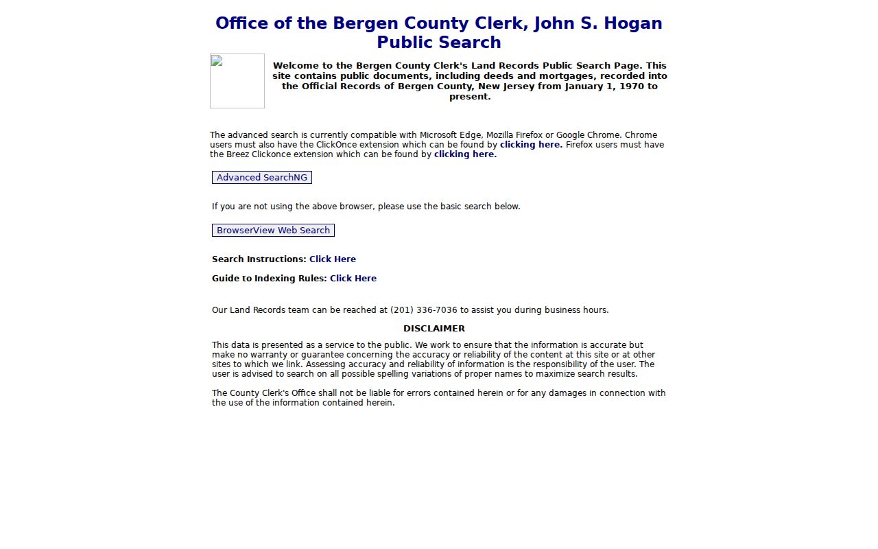
The search page is a useful next stop after a parcel is identified, since address research often requires a party, date, legal-town, block, or lot search rather than a simple street browse.
Fair Lawn Street Directory Deed Clues
The County Clerk's online land-record search covers public deeds and mortgages recorded from January 1, 1970 to the present. Its Standard Search is the simpler tabbed route, while Advanced Search puts criteria on one screen. Party-name searching adds a beginning wildcard, and More Names can test spelling variants or multiple first names. Researchers can pair two party names, select a result row for detail, open an image where available, and follow linked documents. A row represents a party name on a document, not a current resident list.
The official Bergen deed-search help documents legal searches by town, lot, and block, plus date range, book and page, clerk's file number, consideration, and map-number options.
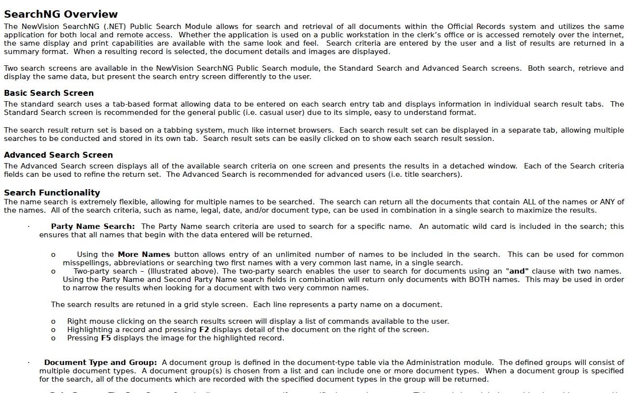
Those choices make the legal description especially useful when a Fair Lawn street name or number has changed. Check spelling variants and inspect the linked document before connecting a party to the address.
If the advanced application will not run, the Clerk provides legacy BrowserView as a fallback. For an older or unresolved record, take the municipality, block/lot or party name, date range, and spelling variants to the records division. Use the public terminal or books, record the book/page or instrument number, then request the plain or certified copy needed. Staff can explain the index but do not perform a search for the requester.
Fair Lawn Street Names Need Context
Fair Lawn was incorporated on March 6, 1924 from part of Saddle River Township, first under the one-word name Fairlawn. The spelling changed to Fair Lawn in 1933. A street directory search for an early deed, census, church item, or printed listing should therefore test Fairlawn, Fair Lawn, and Saddle River Township. The municipality named at the top of a source is a valuable clue, but it is not a legal boundary finding. The same care applies to roads. Current material associates River Road with County Route 507, yet an earlier item may use only one label.
Fair Lawn's Routes 4 and 208, Saddle River Road, Plaza Road, River Road, Broadway, Morlot Avenue, and Fair Lawn Avenue are useful corridors for orientation. A corridor is not a neighborhood boundary, and it can cross another municipality. The dependable research unit remains street, house number, municipality, and date. Preserve each printed form before adding a normalized current form beside it.
Fair Lawn Street Directory Record Layers
Address-keyed sources contribute different facts to a Fair Lawn street directory. The parcel map identifies geographic context. Assessment material supplies tax-roll context. The recording index holds document references. The Borough routes permits and engineering records to their own custodians. Bergen County voter lists are available through a separate written-request product, not through the statewide self-status form. The strongest conclusion comes from matching the source's date and purpose to the question being asked.
| Address record | Fair Lawn or Bergen keeper | What it can show | Access route |
|---|---|---|---|
| Parcel map | NJGIN and Bergen GIS | Municipality, block, lot, parcel context | Free online map paths |
| Assessment context | Fair Lawn Tax Assessor | Assessment, transfer, and permit-linked valuation context | Local office for current questions |
| Recorded documents | Bergen County Clerk | Parties, type, recording date, book/page, consideration | Online since 1970; records-division fallback |
| Registered-voter list | Bergen County Clerk elections division | A district list, subject to the product's terms | Written request, $0.25 per district |
| Permit or plan | Fair Lawn Building/Zoning or Engineering | Address-related application, road, drainage, or plan lead | Responsible borough custodian |
Parcel data, a deed, and a permit have different legal roles. A tax assessment does not prove title, occupancy, market value, or current condition. A map is not a boundary survey. A voter-list entry should not be stretched into a complete household roster.
Fair Lawn Street Permits and Plans
When a Fair Lawn street question turns on a project, road, drainage, zoning matter, or application, the proper record may sit outside the land index. The Borough's Engineering Department is the starting point for roads, drainage, and plans. Building/Zoning is the route for permits, zoning, and applications. The Municipal Clerk is the appropriate custodian for ordinances, resolutions, and general borough correspondence. The police records process applies to incident records, not to ordinary property research.
If a requested record is held by a different custodian, direct a focused request to that office rather than sending a broad county request. Fair Lawn's OPRA request form is the Borough route for records it maintains. Describe the street, number, date range, record type, and any block or lot in the request. This reduces the risk of confusing a map layer, a planning file, and a deed.
Fair Lawn Street Directory Past Listings
For a past Fair Lawn address, the Ridgewood Public Library Heritage Center holds a regional directory collection with Fair Lawn material from 1931 through 1973 on microfilm in the Reference area. The finding aid identifies certain years and later run material, but it also signals gaps. Contact the Heritage Center at heritagecenter@ridgewoodlibrary.org or (201) 670-5600 ext. 135 to confirm the exact year, reel, reader availability, and whether a numerical street section survives before a visit. A numerical or reverse listing can supply a listed occupant, a business, a vacant notation, or an institution. It is an address lead, not a deed or a present-day roster.
Compare the nearest available directory years and record the page or reel, printed town form, street spelling, number, and every relevant notation. The historical collection itself is described in more depth on the Fair Lawn city directory page. Pairing it with a dated map, deed, census, or newspaper item is safer than treating a single entry as final proof.
Note: A missing name can mean the volume was not held, the number changed, or the source used another town label.
Fair Lawn Street Records Need Normalization
Keep a small source-preserving record before merging address hits. Fairlawn and Fair Lawn are town-name variants. River Road and County Route 507 are road-label variants. A changed house number is a separate problem. Folding all three into one automatic replacement can join the wrong records. The Borough's 1924 incorporation and 1933 spelling change make this especially important when a Fair Lawn street directory reaches into older county material.
- Parcel
- A mapped tax or assessment unit, often identified by municipality, block, and lot. It is not a guarantee of legal title.
- Situs address
- The physical location of the parcel. It can differ from the tax-roll mailing address.
- Legal description
- The block, lot, municipality, subdivision, or metes-and-bounds wording used in a recorded document.
- Criss-cross directory
- A printed directory arrangement that may list entries by address or street as well as alphabetically.
Retain apartment, unit, rear, front, route, hyphen, and abbreviation details until the sources agree. A ZIP+4 is a delivery-routing suffix, not a new parcel or a separate municipal ZIP. Historical Sanborn sheets can add building context for 1948 through 1950, but they do not identify private occupants.
Fair Lawn Street Directory Limits
No official public address-by-address historical occupancy database for Fair Lawn was located. The state voter self-status check requires the registered person's exact first name, last name, and date of birth, while Bergen County voter lists follow a separate written-request route. The statewide parcel material can redact owner names under Daniel's Law. A directory can label an occupant, business, vacancy, or institution, yet its date and wording still need comparison with independent sources. A search result should not be made to say more than its record type supports.
Lawful use. Fair Lawn address research supports family history, property curiosity, and civic record work. Do not use any record to stalk, harass, intimidate, or harm a person.