
Fair Lawn Neighbors by Block
The immediate Fair Lawn block can be researched at several levels, but none creates a public roster of everyone on it. The county and state map layers first identify the parcel and its relationship to the surrounding street. The assessor supplies assessment context, while the Bergen County Clerk's land records can connect a legal parcel to recorded parties. A historical directory or newspaper may place a person or business at an address on a specific date. Voter information is split between an individual status tool and separately requested county lists. Treat each source as proof of its own limited fact.
| Block Source | What It Shows | Access Path |
|---|---|---|
| NJGIN Property Explorer | Address, county, municipality, block, lot, and map position | Free map and search path |
| Bergen County Parcel Viewer | Parcel geometry, nearby streets, and county map layers | Free county viewer |
| Fair Lawn Tax Assessor | Assessment, transfer, permit-linked valuation, and ownership context | Local office inquiry |
| Bergen County land records | Recorded party names, documents, recording dates, and legal descriptions | Online from 1970 forward, then records division |
| County voter-list request | Released district-level material for a defined election or list | Focused written request and fee |
Parcel ownership and who occupies an address are different questions. A tax-roll mailing address can belong to an owner, representative, or another address. The local assessor notes that annual statewide assessment data can lag a later transfer. A map polygon is also not a survey or a legal ownership boundary. These limits matter when comparing the homes around a Fair Lawn address.
Fair Lawn Neighbors on Parcel Layers
The NJGIN Property Explorer accepts address, county, municipality, block, and lot inputs, and supports map clicking. Start by matching the target address to Fair Lawn and recording the block and lot exactly. Then open the Bergen County Parcel Viewer for county map orientation and adjacent-parcel context. Preserve the visible layer name, map date, scale, cross streets, and parcel labels because GIS layers can change between releases.
New Jersey hosted parcel and tax-list data may redact owner names under Daniel's Law. An empty owner field does not mean the parcel has no owner, and it should not be filled from unrelated information. If the needed question is about a current transfer, exemption flag, or assessment record, contact the Fair Lawn Tax Assessor rather than treating the map as the final answer. The assessor's office appraises land and buildings, maintains transfers, and keeps current values, while the county recorder keeps the recorded document trail.
The Bergen County Parcel Viewer provides the visual starting point for a Fair Lawn block check.
Use the map to identify surrounding parcels and street relationships, then record the parcel identifiers before consulting an ownership or historical source.
Note: A parcel map provides geographic context, not a complete household list or a legal survey.
Map Fair Lawn Neighbors by Parcel
For the immediate block, work from one verified address outward and preserve the source trail at every step. The process below keeps present parcel context separate from a recorded transfer and from a dated occupancy lead. It also avoids assuming that nearby parcel owners are current occupants or that each adjacent address is inside the borough when a street runs near a municipal boundary.
- Find the target address in NJGIN or the Bergen County Parcel Viewer and record the municipality, block, lot, map date, and adjacent cross streets.
- Click or inspect the surrounding parcels one at a time, noting labels and map position without copying protected or absent owner data.
- For a recorded-party lead, search the Bergen County Clerk land index by municipality, block, lot, or name, then retain the document type and recording date.
- Compare a historical address lead with the 1931 through 1973 directory run or a dated newspaper item before labeling an occupant.
- Use the appropriate municipal custodian for a permit, planning, engineering, or meeting record tied to the block.
For a complete named-street chain rather than an immediate block view, use the Fair Lawn street directory. Streets can cross rail lines, highways, rivers, or municipal borders, so a nearby postal label is not enough to place a parcel in Fair Lawn.
- Situs address
- The place where a parcel physically sits, which can differ from the address used for tax mail.
- Block and lot
- The municipal parcel identifiers used by maps, assessment records, and legal searches.
- Legal description
- The land-identifying wording used in recorded documents, often including block, lot, municipality, or subdivision details.
- GIS geometry
- The map representation of a parcel, useful for orientation but not a substitute for a survey.
Fair Lawn Neighbors and Civic Records
Fair Lawn's public civic bodies supply a community layer, but their pages are not private neighborhood directories. The Borough boards page identifies bodies such as the Environmental Commission, Historic Preservation Commission, Planning Board, Zoning Board, Green Team Advisory Committee, Health Advisory Board, and Senior Citizen Advisory Committee. Agendas, minutes, public notices, and meeting schedules can establish when a board considered a subject or how a public body is organized. They cannot establish that every listed person lives on a nearby block or attended every meeting.
Planning and Zoning
Use public agendas and minutes for dated land-use or board-action context near a Fair Lawn block. Building and Zoning is the custodian route for permits and applications.
Historic Preservation
Public preservation materials can provide a source lead about a place, not a current household list or contact roster.
Environmental and Health Boards
Meeting records can identify a public issue, date, and official discussion relevant to a neighborhood area.
The official Fair Lawn boards and committees directory lists the public bodies available for civic research.
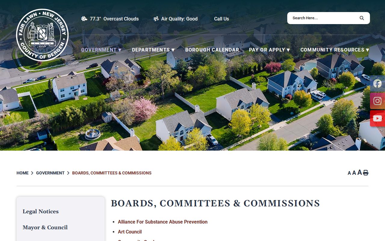
Use a listed body to find its published public materials or the correct Borough department. Do not turn public-board information into a private contact list.
Fair Lawn Neighbor Voter Limits
New Jersey's voter registration status check requires the exact registered first name, last name, and date of birth. It is designed for an individual's status, not for browsing the homes around an address. Bergen County voter lists use a different channel: submit a focused request that names the municipality, district, election or list type, date, format, and available redactions. The County Clerk lists a fee of $0.25 per district for registered-voter lists and $0.25 per page for mail-in lists.
A district is a geographic clue, not a parcel boundary. List publication practices and district boundaries can change over time. Do not ask a custodian to create a new crosswalk that joins voter information, parcels, and private contact data. For a historical residence question, compare a dated list with a directory, assessment, census, or deed instead. No official public Fair Lawn voter-name-and-address directory was located during the research review.
Note: A voter status result should be reported only as the outcome of that specific official status check on its access date.
Fair Lawn Block History
Historical sources give a block its date. The Ridgewood Heritage Center holds a Fair Lawn Price & Lee directory run from 1931 through 1973, and its numerical sections can be searched for a target house number in nearby years. Mark the outcome carefully: listed occupant, business at address, vacant, institution, volume not held, or not found in volume. A directory entry is an occupancy or contact lead, not title and not proof of who lives there now.
The Library of Congress Fair Lawn Sanborn set covers 1948 through 1950 in 29 sheets and 30 images. It can show building footprint, construction material, stories, hazards, and named uses where printed. It cannot identify a private occupant unless a business or institution is labeled. Newspapers add dated events: search Fair Lawn-Radburn News and successor titles with the street name, number, cross street, business name, and both Fairlawn and Fair Lawn spelling variants.
Fair Lawn was incorporated from Saddle River Township in 1924 under the one-word name Fairlawn, then adopted the two-word spelling in 1933. This local name-change story helps explain why older block records can appear under a predecessor jurisdiction. It never converts a nearby-town reference into Fair Lawn evidence without a parcel or other source check.
Compare Fair Lawn Block Sources
Official records and commercial neighbor-search products serve different purposes. An official map or recording can be traced to a named custodian, a date, and defined fields. A commercial result may be fast, but its source date, correction path, and identity match can be unclear. Use a public source to verify the limited fact it actually records, then contact the custodian if a document, redaction explanation, or correction is needed.
| Source type | Useful for | Limit to keep in view |
|---|---|---|
| Official map or assessment | Parcel orientation, block and lot, assessment context | Does not prove a complete household or legal boundary. |
| Recorded land document | Dated party and legal-description leads | Does not by itself prove current occupancy. |
| Directory or newspaper | Dated historical occupant, business, or community lead | Needs corroboration and exact date capture. |
| Commercial neighbor product | A possible prompt for an official search | Accuracy, date, and correction method may be uncertain. |
The official Fair Lawn meeting schedule is another dated public source for civic activity around a neighborhood issue.
A meeting listing can establish a time, public body, and topic. It cannot establish that a resident attended, supported, or opposed the matter.
Privacy on a Fair Lawn Block
Privacy limits apply throughout a Fair Lawn block search. Do not publish a living person's exact home address, date of birth, signature, personal phone or email, map pin, or protected address. New Jersey's Address Confidentiality Program supplies a legal substitute address for eligible participants, while Daniel's Law supports redaction for covered public servants and household members. A redaction is part of the record's access condition. It is not a problem to solve by combining data from other sources.
Motor-vehicle personal information is restricted by federal and state rules. Vital records, adoption files, juvenile matters, sealed and expunged court records, protected victim information, police reports, and school records can also have separate restrictions. If a record seems inaccurate, use the custodian's correction or request path. For an immediate safety issue, contact Fair Lawn Police or call 911 in an emergency.
Lawful use. Use Fair Lawn block records for personal historical research, civic understanding, or a documented property question. Do not use any result to watch, stalk, harass, intimidate, or harm another person.
Note: The least identifying detail that permits a source check is usually the safest detail to retain in research notes.